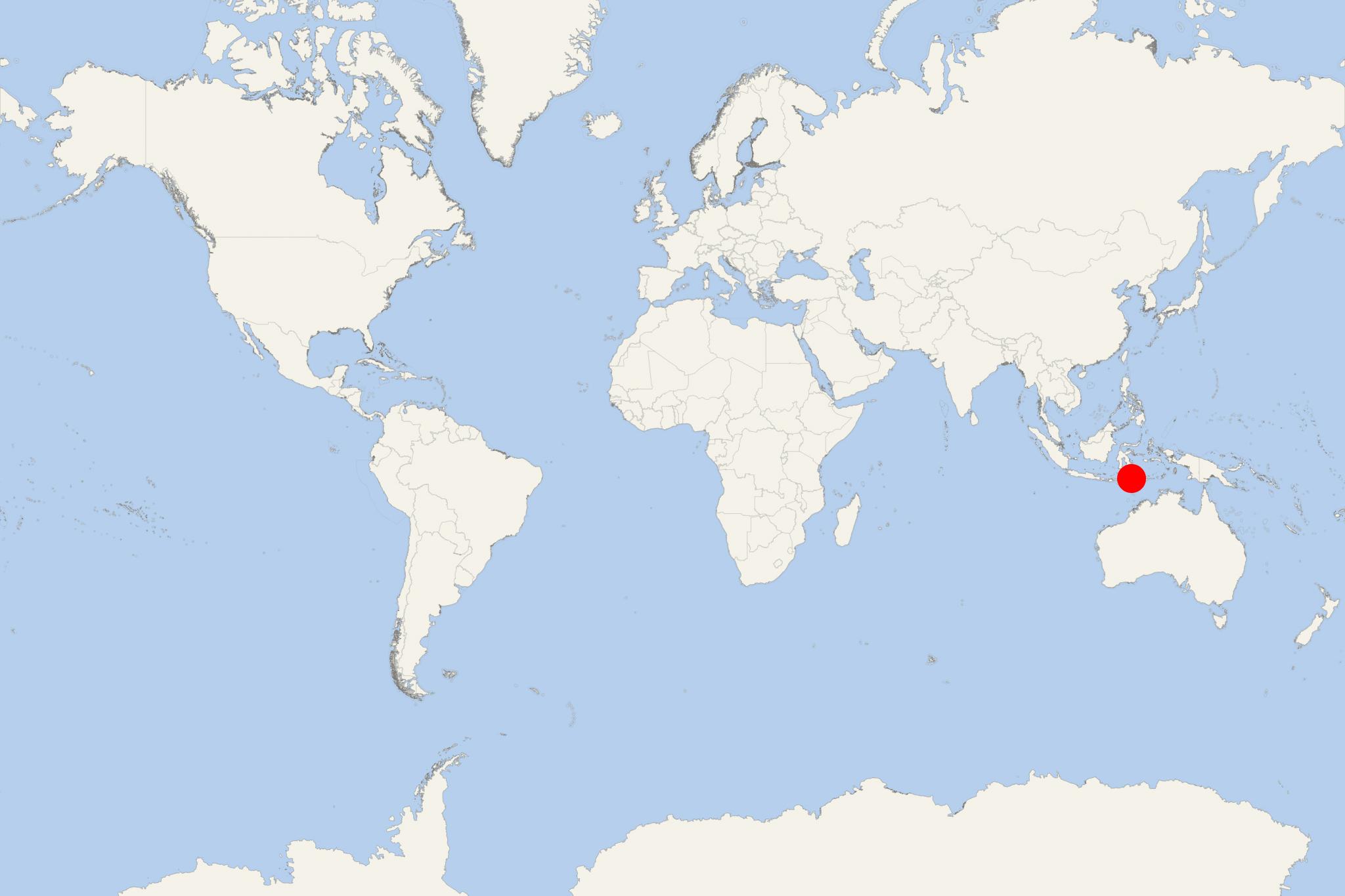
Pulau Flores Island Indonesia (Larantuka-Ende-Maumere, East Nusa Tenggara)
Cruise Port schedule, live map, terminals, news
Region
Australia - New Zealand - Pacific Ocean Islands
Local Time
2024-11-26 07:32
 84°F
84°F 28.8°C

 Very Light
0.4 m/s
 87 °F / 31 °C
 74 °F / 24 °C
Port Pulau Flores Island Indonesia cruise ship schedule shows timetable calendars of all arrival and departure dates by month. The port's schedule lists all ships (in links) with cruises going to or leaving from Pulau Flores Island Indonesia, Larantuka-Ende-Maumere, East Nusa Tenggara. To see the full itineraries (ports of call dates and arrival / departure times) and their lowest rates – just follow the corresponding ship-link.
| Day | Ship | Arrival | Departure |
|---|---|---|---|
| 12 May, 2024 Sunday | |||
| 23 May, 2024 Thursday | |||
| 29 May, 2024 Wednesday |
Pulau Flores Island is one of Lesser Sunda Islands located in Indonesia's eastern half. The island is part of East Nusa Tenggara province and has land area approx 13540 km2 (5230 mi2) and population around 1,84 million. The largest port town is Maumere (population around 55,000).
Flores Island is to the east of Komodo and Sumbawa and west of Alor Islands and Lembata. Timor is southeast. To the south (across Sumba Strait) is Sumba Island and beyond the Flores Sea (to the north) is Sulawesi.
Among all Indonesian islands, Flores is ranked 10th most populous and 10th largest. Its west coast is one of the few sites (aside from Komodo Island) where Komodo dragons (up to 3 m long lizards) are found in the wild. It is part of UNESCO's Komodo National Park (also including the islands Komodo and Rinca). Kelimutu National Park is the island's 2nd national park preserving endangered species.
The most popular tourist attraction on Pulau Flores is its 1639-m (5377-ft) Kelimutu volcano (near Moni Town) featuring 3 colored lakes. These crater lakes in the caldera are fed by volcanic gas sources, which makes the water highly acidic. These lakes change colors (red through green and blue) on an irregular basis, depending on the water's oxidation state.
Diving and snorkeling locations are found along the island's northern coast, the most popular being Riung and Maumere. Sadly, the coral reefs were practically destroyed as fishermen use bombs to fish, locals sell shells to tourists, plus the devastating effects of the 7,8 Richter magnitude Flores earthquake and tsunami (December 12, 1992).
In addition to tourism, the island's major economic activities include seaweed production, agriculture and fishing. Flores is among Indonesia's newest coffee production territories. Previously, most Coffea Arabica from Flores Island was blended mixed with other origins. Currently, demand for this kind of coffee is growing due to its heavy body and sweet (floral, woody and chocolate) notes.
Pulau Flores Island Indonesia cruise terminal
Most cruise ships to Pulau Flores berth at Larantuka Dock (on island's eastern coast). Some ships may dock at Ende (on island's southern coast).
- Accidents

Indonesian ferry carrying 800+ people runs aground in East Nusa Tenggara province
An Indonesian ferry carrying 800+ people that had run aground was dislodged on Thursday, May 19, and taken safely to dock at the nearby port...
May 20, 2022 - Cruise Industry

Aqua Expeditions and NIHI Sumba create a luxury cruisetour in East Indonesia
The small-ship cruise company Aqua Expeditions and NIHI Sumba (Luxury Beach Resort Indonesia/Private Villas) teamed up to create an adventure...
February 3, 2021 - show more news
