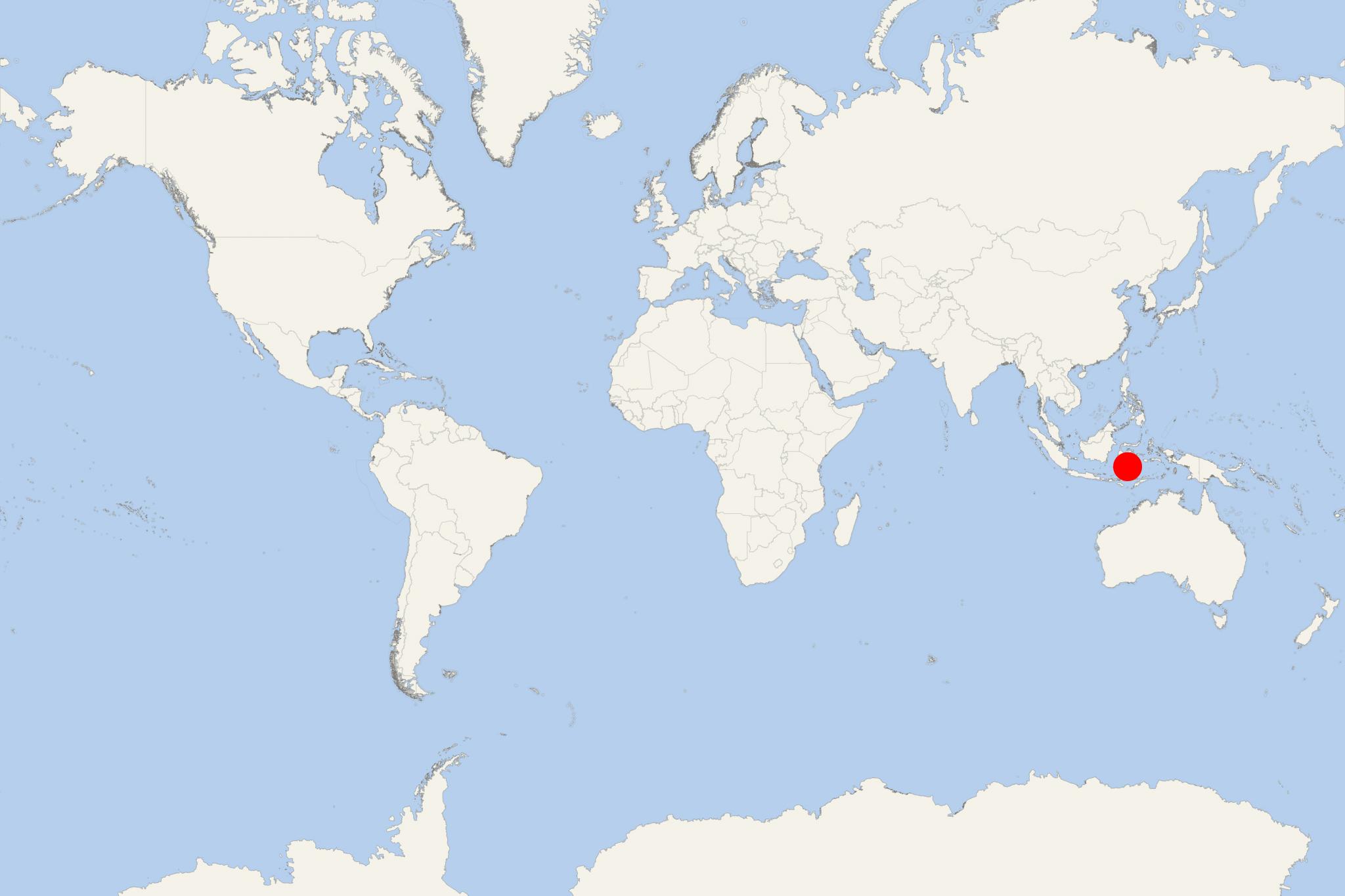
Pulau Kabaena Island Indonesia (Southeast Sulawesi)
Cruise Port schedule, live map, terminals, news
Region
Australia - New Zealand - Pacific Ocean Islands
Local Time
2025-04-21 04:52
 77°F
77°F 24.8°C

 Very Light
1.2 m/s
 85 °F / 30 °C
 75 °F / 24 °C
Pulau Kabaena Island is located in Flores Sea, off the coast of Sulawesi (Indonesia). The island covers a total area of approx 873 km2 (337 mi2) and has population around 30,000.
Kabaena Island is a part of Bombana Regency (within Southeast Sulawesi province). Kabaena can experience very strong earthquakes (on average 1 per 50 years) with Richter magnitudes up to 6-7. December is the warmest month (average noon temperature 30 C). August is the coldest (average night temperature 19 C). Day and night temperatures don't differ much. September is the month with the most sunshine. Island's wet season has rainfall peak in May. The dry season is in September.
Pulau Kabaena is easily accessed from Jakarta by airplane via Jakarta-Makassar-Kendari routes (flight time over 4 hours). The trip can be continued by land transportation from Kendari to Kasipute (3 hours) and then by speedboat to Sikeli, West Kabaena (2,5 hours) or to Talaga, Southeast Kabaena (3 hours). Kabaena Island has a restaurant and lodging facilities.
Most tourists visit Batu Buri cave (Lengora village), with amazing stalactite and stalagmite formations. Another tourism travel destination on the island is Tangkeno village (on the slope of Mt Sabampolulo (1500 m / 4921 ft above sea level). In Tangkeno can be seen a defense fortress (built of rocks) and 180 m (590 ft) high waterfall. To reach Tangkeno, tourists use land transportation from Sikeli (travel time 1 hour).
Pulau Kabaena Island Indonesia cruise terminal
Cruise ships to Pulau Kabaena Island dock (anchor) at Sikeli on the western shore.
