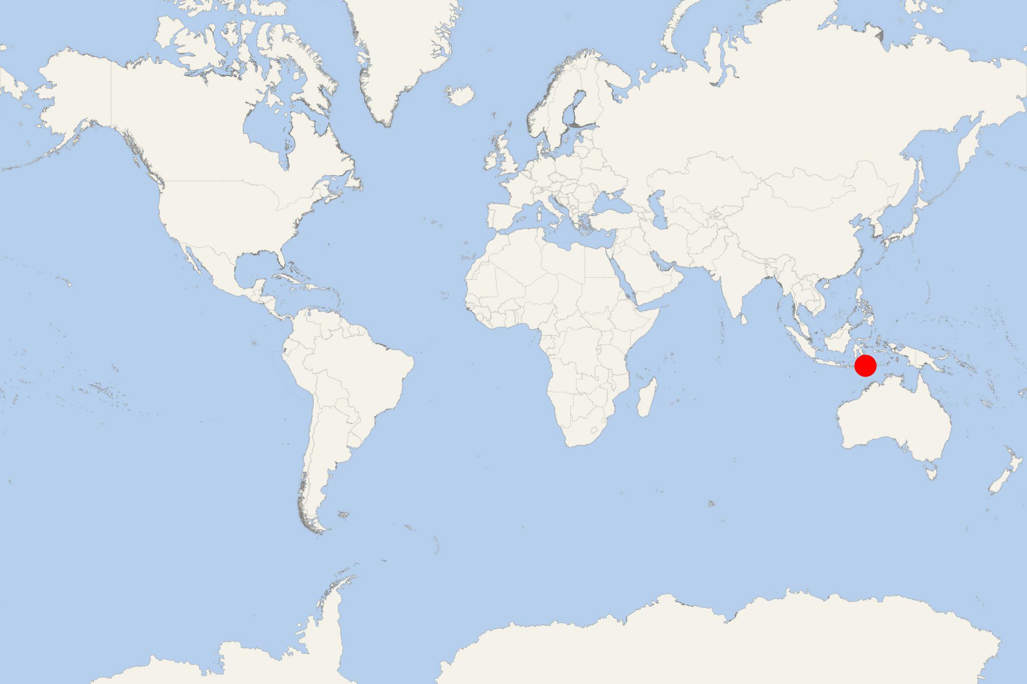
Pulau Lembata Island Indonesia (Lamalera, East Nusa Tenggara)
Cruise Port schedule, live map, terminals, news
Region
Australia - New Zealand - Pacific Ocean Islands
Local Time
2024-11-26 22:22
 82°F
82°F 27.6°C

 Very Light
1 m/s
 86 °F / 30 °C
 76 °F / 25 °C
Pulau Lembata Island (aka Lomblen island) is the largest of Indonesia's Lesser Sunda Islands (part of Nusa Tenggara Timur province). Lembata has length 80 km (50 mi) southwest-northeast, width 30 km (19 mi) west-east and highest elevation point 1533 m (5030 ft).
To the west are the islands Adonara and Solor, then Flores Island. To the east is Alor Strait, separating Lesser Sunda Islands from Alor Islands. Across Savu Sea (to the south) is Timor Island. To the north are the Southeast Sulawesi islands.
Lewoleba (Labala) is the province's capital city on Lembata's western coast, alongside a large bay and facing Ile Ape volcano (in the north). Ships regularly connect the surrounding islands and the coastal towns, but the only bigger harbor is at Lewoleba. There are daily ferry and tour boat connections from Lewoleba to Flores, Larantuka and Waiwerang (on Adonara Island).
Like the other Lesser Sunda Islands, Lembata is volcanically active, having 3 volcanoes (named Iliwerung, Ililabalekan, Lewotolo).
On Lembata's southern coast, Lamalera village is popular for whale hunting. Lamakera (on Solor Island) and Lamalera are Indonesia's last 2 remaining whaling communities. In 2011, in the waters surrounding Lamalera were found two rare coral reef fish existing only in the waters of Indonesia and the Philippines.
Pulau Lembata Island Indonesia cruise terminal
Cruise ships to Pulau Lembata Island dock (anchor) at Lewoleba - port city on the western coast.
- Accidents

Indonesian ferry carrying 800+ people runs aground in East Nusa Tenggara province
An Indonesian ferry carrying 800+ people that had run aground was dislodged on Thursday, May 19, and taken safely to dock at the nearby port...
May 20, 2022 - show more news
