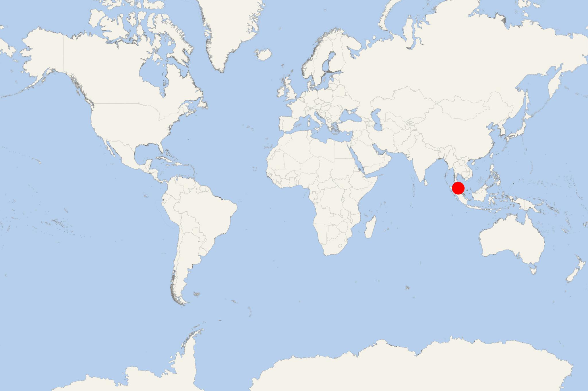
Pulau Pangkor Island Malaysia (Lumut, Perak)
Cruise Port schedule, live map, terminals, news
Pulau Pangkor is a resort island located off Perak state's coast (Malaysia). The island covers a total area of approx 18 km2 (7 ml2) and has population around 25,000. The list of nearby islands includes Pangkor Laut, Talang, Giam and Mentagor. Pangkor Island's main industries are tourism and fishing.
Island's interior is forested and home to 17 amphibian and 65 reptile species. Pangkor's west coast is famous for its resorts, beaches and hotels serving the tourism sector. The most popular beaches are named Coral, Pasir Bogak and Teluk Nipah. The east coast is where all the locals live and most of them work. Other attractions include the tombs, Tortoise Hill, Fu Ling Kong temple, Kali Amman temple, Tiger Rock, Batu Bersurat Kota Belanda (Dutch Fort).
Public ferries (leaving roundtrip from Lumut) also stop at the island's east side. The first stop (at Sungai Pinang) is mainly for local residents, homestay tourists and guesthouse tourists. The 2nd stop (at Pangkor Town Jetty) is where are the shops and government buildings. Private ferries to Pangkor Island depart from Marina Island and operate between 7 am - 8 pm.
Pulau Pangkor Island Malaysia cruise terminal
Cruise ships to Pulau Pangkor Island dock (anchor) at port Lumut (located to the east, on the mainland). Public ferries leave from Lumut (jetty, with multi-storey car parking, bus terminal). Ferry services run between 7 am and 8:30 pm, departing every 20 min.

 79°F
79°F 
 Light breeze