Pulau Tiga Island Malaysia (Sabah)
Cruise Port schedule, live map, terminals, news
CruiseMapper currently has no ship schedule for Port Pulau Tiga Island Malaysia (Sabah)
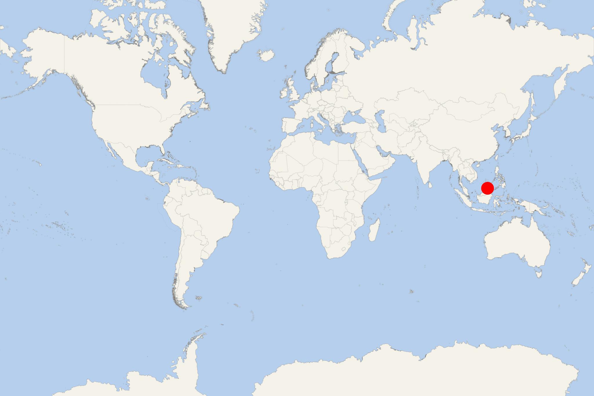
Pulau Tiga Island is an uninhabited island located in Kimanis Bay (Malaysia), off the western coast of Sabah (Borneo Island). The island covers a total area of approx 6 km2 (2,5 ml2).
- Tiga is one of the 3 islands making up Tiga Island National Park. These small islands were formed on September 21, 1897, when an earthquake on Mindanao (Philippines' second largest island - after Luzon) was the reason for a volcanic eruption close to Borneo. Tiga Island has two active mud volcanos at its highest part. National Park's headquarters are on Tiga Island and comprise an office complex and accommodations for the park staff and visiting scientists.
- Located 48 km (30 ml) south of Kota Kinabalu and Tunku Abdul Rahman National Park, Tiga Island National Park is easily reached by driving (140 km / 87 ml) to Kuala Penyu (on Klias Peninsula), from where it's another 18 km (11 ml), or about 30 min travel by boat.
- Another way to get there is by chartering speed boat from Kota Kinabalu to Tiga Island, or flying to Labuan and chartering speed boat from Labuan Island.
- Pulau Tiga became popular through the Survivor TV series being the setting of "Survivor: Borneo" (show's first US season). It was also the setting of the first UK season. The island was rumoured to be the setting of upcoming 3rd season of Australian Survivor, but was later unveiled that Samoa would be the location for the series.
Pulau Tiga Island Malaysia cruise terminal
Cruise ships to Pulau Tiga Island dock (anchor) at Kota Kinabalu - port city located on the northwestern coast of Borneo Island.

 82°F
82°F 
 Gentle breeze