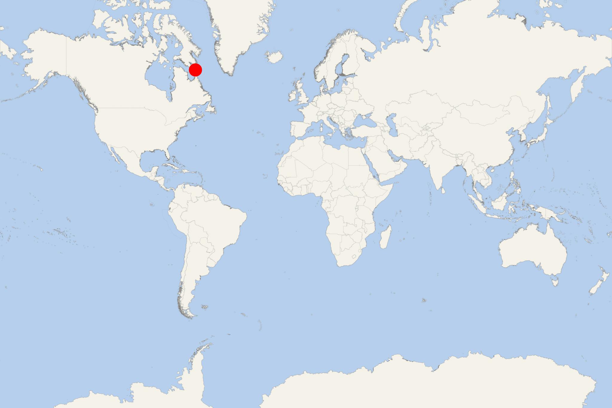
Resolution Island (Nunavut Canada)
Cruise Port schedule, live map, terminals, news
Region
Arctic - Antarctica
Local Time
2025-04-15 02:30
 19°F
19°F -7.5°C

 Gentle breeze
4.7 m/s
 31 °F / -0 °C
 10 °F / -12 °C
Port Resolution Island cruise ship schedule shows timetable calendars of all arrival and departure dates by month. The port's schedule lists all ships (in links) with cruises going to or leaving from Resolution Island, Nunavut Canada. To see the full itineraries (ports of call dates and arrival / departure times) and their lowest rates – just follow the corresponding ship-link.
| Day | Ship | Arrival | Departure |
|---|---|---|---|
| 23 August, 2025 Saturday |
Resolution Island is among the many uninhabited islands located in Nunavut (Arctic Canada). It is also one of Baffin Island's offshore isles in Hudson Strait. The island covers a total area of approx 1015 km2 (392 ml2). Lower Savage Islands are between Baffin Island and Resolution Island. Graves Strait separates Resolution from Edgell Island.
The island was first visited by the British explorer Martin Frobisher (1535-1594) in July 1576. His stop was during a voyage to discover the Northwest Passage. However, it was named Resolution in 1612 by Sir Thomas Button - after his own ship.
Resolution Island was home to American military base, currently CFS Resolution Island, which became operational in 1954. In 1973 the base was vacated, and in 1974 turned over to Canada.
The Canadian cargo vessel "MINNA" was wrecked on the island's east side, on August 18, 1974. The ship was then under charter by Bedford Institute of Oceanography. At the time of the accident it was doing scientific surveys. Badly damaged, the scientific equipment and entire crew (21 crew plus 18 scientists) were saved. Bad weather swept "MINNA" in deeper waters where it sank on October 2. "MINNA" was built in 1962.
During site investigations between 1987-1990 contamination was first discovered at the site. The contamination originated from spills from radar equipment, that used PCBs (polychlorinated biphenyls) as insulators. Other pollutants included transformer fluids, asbestos, heavy metals, hydrocarbons. The island was reported with highest PCB contamination of all former military sites in Arctic Canada.
In 1993-1994, environmental assessment of the region was completed. Temporary barriers were put across drainage paths to stop migration of PCBs into water. In 1997 were initiated remediation works.
Resolution Island cruise terminal
Cruise ships to Resolution Island dock (anchor) at xxx.
