Saint Vincent Island (Kingstown, Grenadines)
Cruise Port schedule, live map, terminals, news
Region
Bahamas - Caribbean - Bermuda
Local Time
2025-04-19 13:53
 81°F
81°F 27.3°C

 Mod. breeze
5.6 m/s
 82 °F / 28 °C
 78 °F / 26 °C
Port Saint Vincent Island cruise ship schedule shows timetable calendars of all arrival and departure dates by month. The port's schedule lists all ships (in links) with cruises going to or leaving from Saint Vincent Island, Kingstown, Grenadines. To see the full itineraries (ports of call dates and arrival / departure times) and their lowest rates – just follow the corresponding ship-link.
| Day | Ship | Arrival | Departure |
|---|---|---|---|
| 5 March, 2027 Friday | 08:00 | 18:00 | |
| 13 March, 2027 Saturday | |||
| 18 March, 2027 Thursday | 08:00 | 17:00 | |
| 22 March, 2027 Monday | |||
| 23 March, 2027 Tuesday | 08:00 | 17:00 |
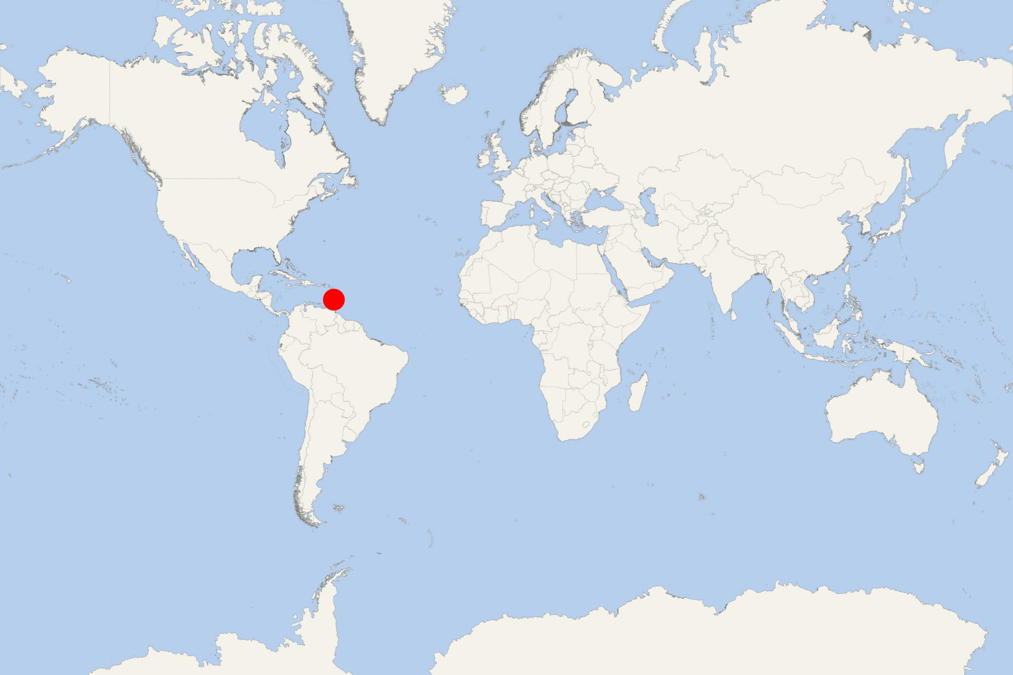
Saint Vincent Island is the biggest of Saint Vincent and the Grenadines - sovereign country in Lesser Antilles (southern Windward Islands, West Indies, Caribbean Sea). The island is located approx 160 km (100 mi) west of Barbados. Saint Vincent is also between Grenada and Saint Lucia.
For season 2018-2019, Bequia Island had scheduled/booked 88 cruise ship calls, St Vincent Island - 82, Mayreau Island - 43, Tobago Cays - 31, Union Island - 26, Canouan Island - 3.
Saint Vincent covers a total land area of approx 389 km2 (150 mi2) and has population around 110,000. Country's capital and main seaport is Kingstown - on the island's south-southeast coast, founded in 1722 and with a current population around 25,000. The rest of the island's population (called Vincentians / Vincies) lives along the coastline, including the other 5 main towns - Layou, Barrouallie, Chateaubelair, Calliaqua, Georgetown.
In the 18th-century, the Caribbean Saint Vincent territory was disputed between Britain and France. In 1763 it was ceded to UK, then again in 1783. Saint Vincent became independent from the UK on October 27, 1979.
The island is mountainous and well-forested. Its total land area is 344 km2 or about 88% of the country's total area. Saint Vincent Island's highest elevation point is 1234 m (4048 ft) above sea level - the active volcano La Soufriere, with recorded largest eruptions in 1812 (April 30th) and 1902 (May 6th, ~1680 killed). Its most recent eruptions were in 1979 (April 13) and 2021 (April 9).
In January-February 2021, the volcano's lava dome became actively growing and releasing SO2 emissions and steam. By late-March, the dome measured height 105 m (344 ft), width 243 m (797 ft) and length 921 m (3022 ft). On April 8th was declared "red alert" and issued an evacuation order. The volcano's eruption occurred on April 9 (at 8:41 AM /Kingstown time) when the ash plume reached ~8 km (~5 mi). By April 10, a thick layer of ash covered large parts of the island and a huge cloud of dust started moving east - towards Barbados Island.
On April 9, CCL-Carnival Cruise Line and RCG-Royal Caribbean Group send cruise ships to St Vincent to assist the island's evacuation. CCL sent Carnival Paradise and Carnival Legend, RCG sent Celebrity Reflection and Serenade of the Seas. Each boat took ~1500 people who were transported to the neighboring islands St Lucia, Grenada, Antigua and Barbados.
Saint Vincent Island cruise terminal
Cruise ships to St Vincent Island Grenadines dock (anchor) at Kingstown - port town on the southern coast.
- Cruise Industry

P&O Cruises UK unveils 2026-2027 winter itineraries with 100+ global destinations
P&O Cruises has unveiled its winter 2026-2027 programme, offering voyages to 100+ distinct destinations. Notably, the schedule introduces two new...
October 16, 2024 - Cruise Industry
Costa Cruises updating COVID-related health protocols
The Carnival Corporation-owned Costa Cruises announced it is updating its COVID-related shipboard health protocols, making sailings more accessible...
September 20, 2022 - Cruise Industry
MSC's winter 2022-2023 cruise program features the newbuild ships World Europa & Seascape
MSC Cruises’ 2022-2023 Winter lineup of voyages features 2 new ships: MSC World Europa and MSC Seascape. In total, the cruise line offers a...
February 4, 2022 - Cruise Industry
RCI-Royal Caribbean's ship Grandeur of the Seas restarts from new homeport
Following a 21-month operational pause, Royal Caribbean's Grandeur of the Seas is finally restarting service. The news is followed by launching a...
December 8, 2021 - Cruise Industry
Atlas Ocean Voyages launches 2021 Caribbean golf cruise on World Navigator
Offering a chance for well-healed cruisers to experience the new travel brand closer to home, AOV-Atlas Ocean Voyages unveiled a new, themed...
September 15, 2021 - Cruise Industry
RCI-Royal Caribbean's Rhapsody of the Seas ship homeported in Barbados for winter 2022-2023
RCI-Royal Caribbean International announced a second consecutive winter cruise season sailing from Bridgetown Barbados. Rhapsody of the Seas will...
April 29, 2021 - Cruise Industry
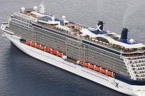
Celebrity Cruises' ship Celebrity Reflection evacuates US citizens from Saint Vincent Island
Following the recent developments on Saint Vincent Island (Kingstown, Grenadines), the USA's Overseas Security Advisory Council released a revised...
April 16, 2021 - Accidents

St Vincent volcano: Carnival and Royal Caribbean ships accept only COVID vaccinated evacuees?
The St Vincent volcano La Soufriere erupted just days after the Caribbean island's prime minister said that only people vaccinated against COVID-19...
April 13, 2021 - Accidents

Royal Caribbean and Carnival ships evacuate islanders in the path of La Soufriere volcano eruption
The eruption of La Soufriere, following decades of inactivity, threw massive clouds of ash into the air and thousands of people had to be evacuated...
April 11, 2021 - Cruise Industry

RCI-Royal Caribbean's ship Grandeur of the Seas cruises from Barbados in winter 2021-2022
RCI-Royal Caribbean International will for the first time homeport a ship in Bridgetown Barbados in winter 2021-2022 - the 2400-passenger liner...
January 14, 2021 - show more news
