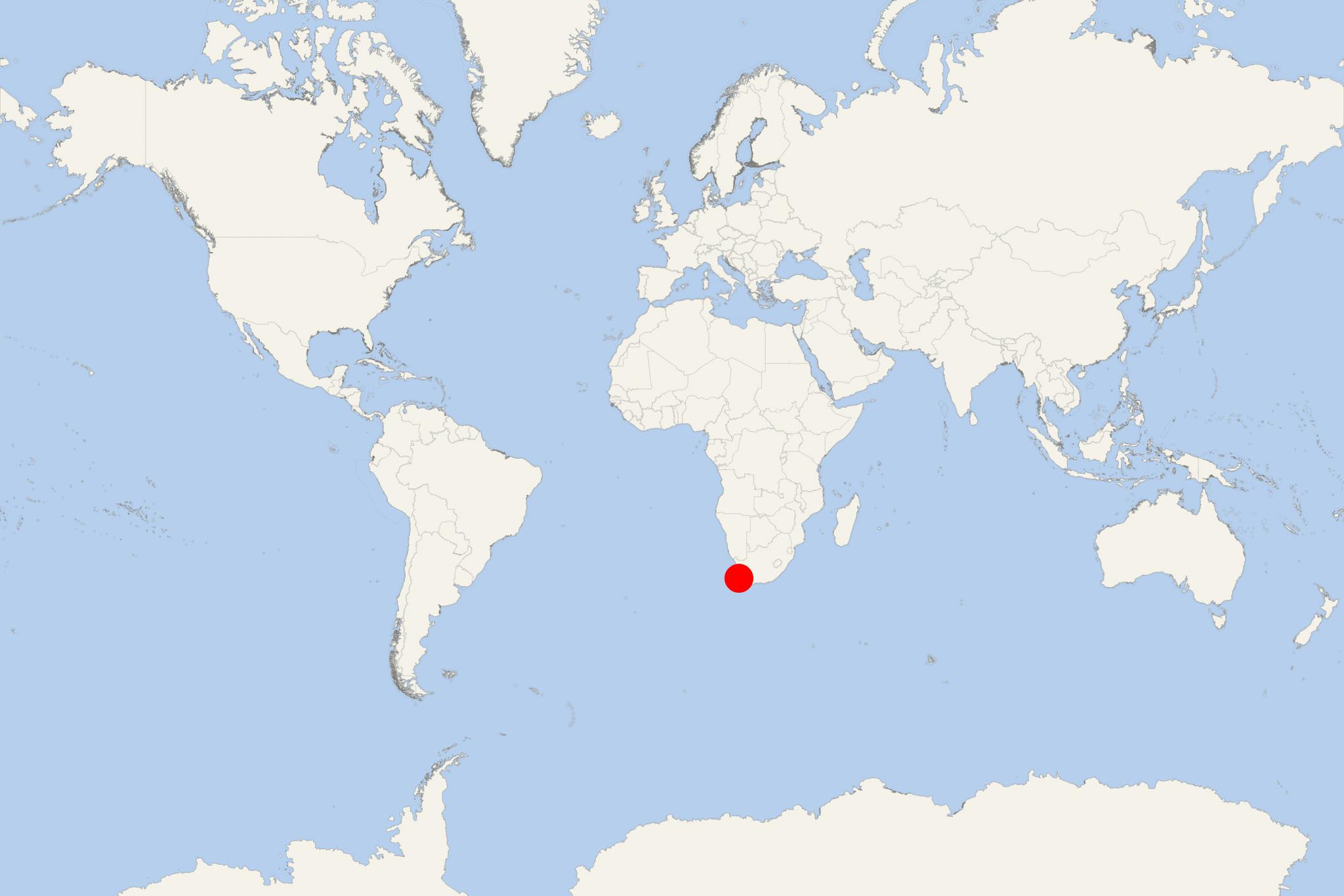
Saldanha Harbour (South Africa)
Cruise Port schedule, live map, terminals, news
Region
Africa - Indian Ocean Islands
Local Time
2025-12-30 04:42
 62°F
62°F 16.5°C

 Light breeze
3.3 m/s
 72 °F / 23 °C
 61 °F / 17 °C
Port Saldanha (aka Saldanha Harbour) is a large natural deepwater port located on Saldanha Bay's northern shore (South Africa's southwestern coast), approx 110 km (70 mi) northwest of country's capital city Cape Town. The town has a population of around 20,000 and its economy is based on commercial fishing, seafood processing (fish canneries), steel industry, cargo shipping (mainly ore carriers serving the Northern Cape's iron ore export).
Saldanha Bay is a large (11x12 km / 7x7 mi) deepwater harbour with Langebaan Lagoon prolonging southeast of the bay. Saldanha is popular for housing the South African Military Academy and a naval training base. Port Saldanha's cargo and cruise shipping operations are managed by TNPA (Transnet National Ports Authority). This is Africa's largest port authority company that manages 7 large seaports in South Africa - Saldanha, Durban, Cape Town, Richards Bay, East London, Mossel Bay, Port Elizabeth.
