Samarai Island PNG (Papua New Guinea)
Cruise Port schedule, live map, terminals, news
Region
Australia - New Zealand - Pacific Ocean Islands
Local Time
2024-12-29 21:02
 82°F
82°F 27.8°C

 Gentle breeze
4 m/s
 86 °F / 31 °C
 77 °F / 26 °C
Port Samarai Island PNG cruise ship schedule shows timetable calendars of all arrival and departure dates by month. The port's schedule lists all ships (in links) with cruises going to or leaving from Samarai Island PNG, Papua New Guinea. To see the full itineraries (ports of call dates and arrival / departure times) and their lowest rates – just follow the corresponding ship-link.
| Day | Ship | Arrival | Departure |
|---|---|---|---|
| 29 January, 2025 Wednesday | 07:00 | 15:00 |
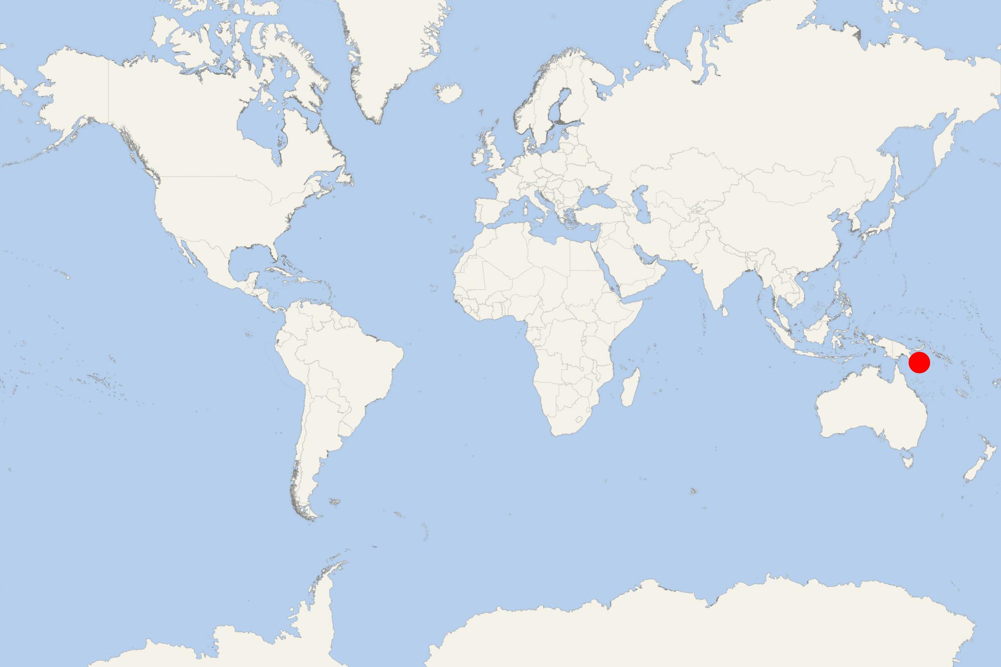
Samarai Island is located in the China Strait (length 7 km, width 1 km), off the southeastern tip of the New Guinea Island (mainland PNG).
- The island has a total area of 0,29 km2 (0,11 ml2) or 70 acres (29 ha), length of 0,8 km (0,5 ml), width of 0,4 km (0,25 ml) and population around 500. This ranks it among the country's most densely populated areas.
- Samarai is a historically significant island port between Australia and East Asia. At its height, the town of Samarai was the PNG's second largest - after Port Moresby.
- In January 1942, the port town Samarai was destroyed during WW2 (1938-1945) by the British who feared a Japanese occupation.
- In 2006, Samarai was declared a National Historical Heritage Island.
- Cruise Industry

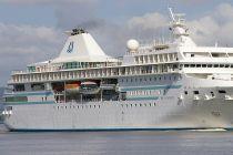
MS Paul Gauguin 2023 cruises in Tahiti, French Polynesia, Fiji & The South Pacific
Paul Gauguin Cruises (aka "PG Cruises", Ponant-owned brand), operator of the longest continually sailing and highest-rated luxury cruise ship in the...
November 25, 2021 - show more news
