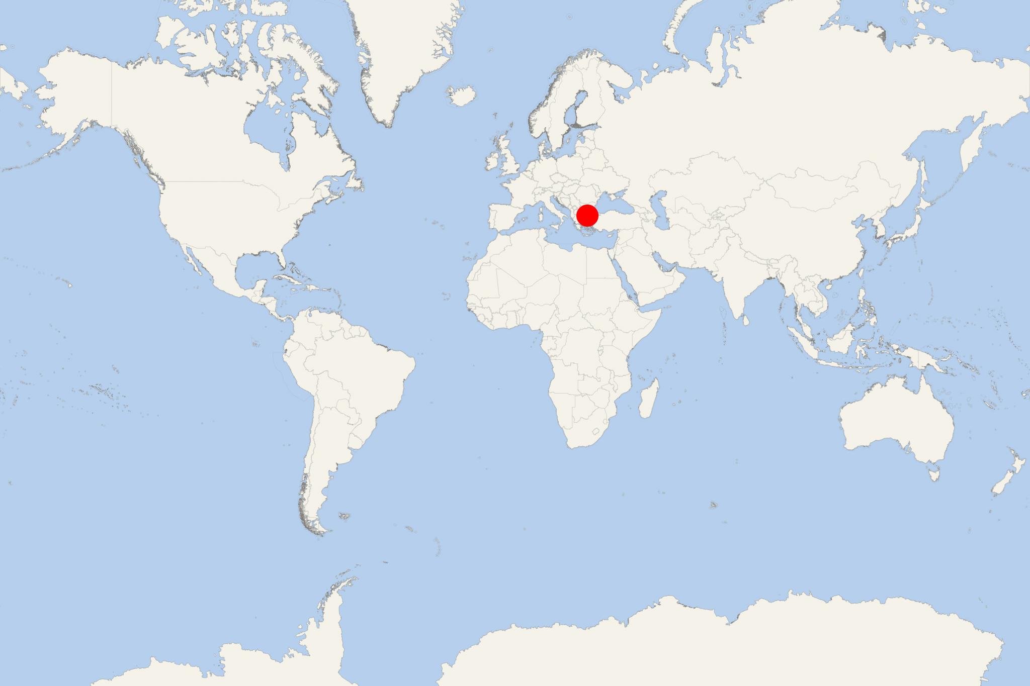
Samothraki Island (Greece)
Cruise Port schedule, live map, terminals, news
Region
Mediterranean - Black Sea
Local Time
2025-04-04 06:44
 55°F
55°F 12.9°C

 Gentle breeze
4.3 m/s
 57 °F / 14 °C
 55 °F / 13 °C
Samothraki Island (aka Samothrace, Samothracia) is a northern Aegean Sea island part of Evros (Thrace, Greece). The island has a total area of 178 km2 (69 mi2) and a population of around 3,000.
Island's main industries are commercial fishing and tourism. As resources, it has granite and basalt deposits. Samothrace's highest elevation point (Mt Fengari) is 1611 m (5285 ft) above sea level. The island has no natural harbour and is too mountainous for agriculture: Samothraki has no commercial airport.
Byzantine Empire (395-1453) ruled Samothrace until 1204 when it was conquered by Repubblica Veneta (Venice, 697-1797) and in 1355 - by the Gattilusi family of Genoa. In 1457, the island became part of the Ottoman Empire (1299-1923) and renamed Semadirek. Following the Balkan Wars (1912-1913) Samothrace became Greek. In the period 1941-44, it was occupied by Bulgaria - during WW2 91939-1945).
Island's main tourist attractions are the Genoese fort's ruins, Chora (village), Paliapoli (Old Town), scenic waterfalls. At the sanctuary Hieron Ton Megalon Theon in 1863 was discovered in pieces a 2,5 m high marble statue of Nike (Greek goddess of victory) which is now known as "Winged Victory of Samothrace" and displayed (headless) in Paris' Louvre museum.
Samothraki Island cruise terminal
Ferries and cruise ships to Samothraki Island dock at the port town Kamariotissa - on the island's northwestern coast. Regularly scheduled ferry service connects Samothrace with the northern Greece ports Alexandroupoli and Kavala.
