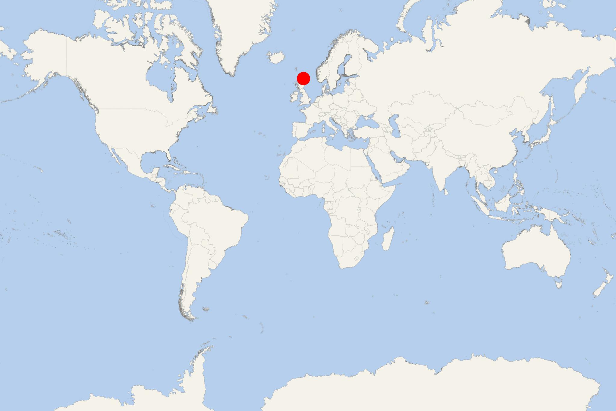
Sanday Island (Scotland Orkney)
Cruise Port schedule, live map, terminals, news
Region
Ireland - UK - British Isles
Local Time
2025-09-17 19:05
 56°F
56°F 13.4°C

 Strong breeze
11.2 m/s
 58 °F / 15 °C
 55 °F / 13 °C
CruiseMapper currently has no ship schedule for Port Sanday Island (Scotland Orkney)
Sanday Island is one of the inhabited Orkney islands, located off the north coast of mainland Scotland. The island covers a total area of approx 50 km2 (20 ml2) and has population around 500.
- Isle of Sanday is Orkney Islands' 3rd largest, and has as main urban centres Kettletoft and Lady Village. The Norse named it "Sandey" ("Sand-oy") due to its numerous sandy beaches.
- Start Point lighthouse (completed in 1806) was Scotland's first lighthouse with revolving light. In 1962, the lighthouse was automated and is now powered by 36 solar panels.
- The island has two golf courses - Sanday Golf Club (9-hole course sized 2600 yards / 2377 m) and Peedie Golf Course (1-hole meadowland sized 57 yards / 52 m, ranked Scotland's shortest golf course).
- Three wind turbines (total capacity 8,25 MW) were installed in 2004 by SSE (Scottish and Southern Energy) at Spurness.
- Otters and seals are found in/around Sanday Island. The marine coast around the east of Sanday is designated Special Protection Area for its machair habitats (low-lying grassy plain) and sand dune.
- Isle of Sanday can be reached by plane from Kirkwall (Orkney Mainland) or by ferry ships run by Orkney Ferries (company with inter-island services in Orkney Islands).
Sanday Island cruise terminal
Cruise ships to Sanday Island dock (anchor) at Broughtown on the north-western coast.
