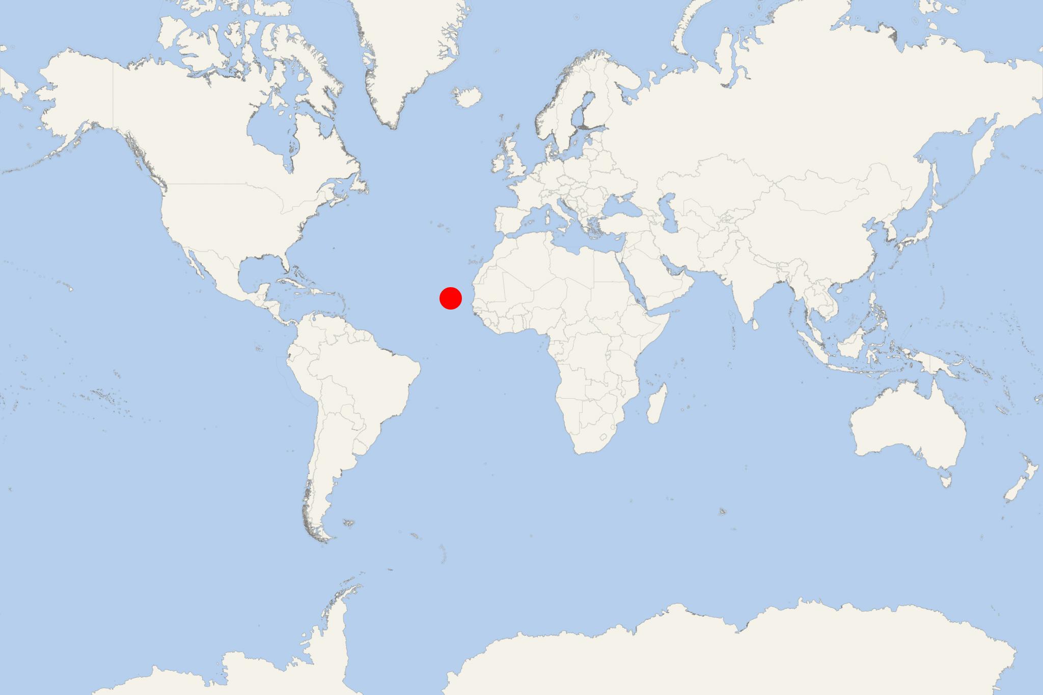
Sao Nicolau Island (Tarrafal, Cape Verde)
Cruise Port schedule, live map, terminals, news
Region
Africa - Indian Ocean Islands
Local Time
2025-03-31 17:25
 70°F
70°F 21.2°C

 Fresh breeze
9 m/s
 70 °F / 22 °C
 70 °F / 21 °C
Port Sao Nicolau Island cruise ship schedule shows timetable calendars of all arrival and departure dates by month. The port's schedule lists all ships (in links) with cruises going to or leaving from Sao Nicolau Island, Tarrafal, Cape Verde. To see the full itineraries (ports of call dates and arrival / departure times) and their lowest rates – just follow the corresponding ship-link.
| Day | Ship | Arrival | Departure |
|---|---|---|---|
| 2 April, 2026 Thursday | 08:00 | 13:00 |
Sao Nicolau Island is one of Cape Verde Islands in the Barlavento (northern) group, and located between Sal Island and Santa Luzia Island. The island has total population around 13,000, land area approx 388 km2 (150 ml2), length 45 km (28 ml), width 20 km (12 ml) and highest elevation point (Monte Gordo) 1340 m / 4400 ft above sea level.
- The island's economy is mainly based on agriculture, commercial fishing and tourism (having beautiful sandy beaches). Much of its population is rural. The island is served by the Preguiça Airport (located between the towns Campo and Vila da Ribeira Brava).
- The island was first settled by the Portuguese in the 16th century, founding Ribeira Brava - its main town. However, its main port (ferry/cruise and cargo) is the port of Tarrafal. A famine in the 1940s led to major immigration to Sao Tome and Príncipe.
Sao Nicolau Island cruise terminal
Cruise ships to Sao Nicolau Island Cabo Verde dock (anchor) at Tarrafal de Sao Nicolau - port town on the western coast.
