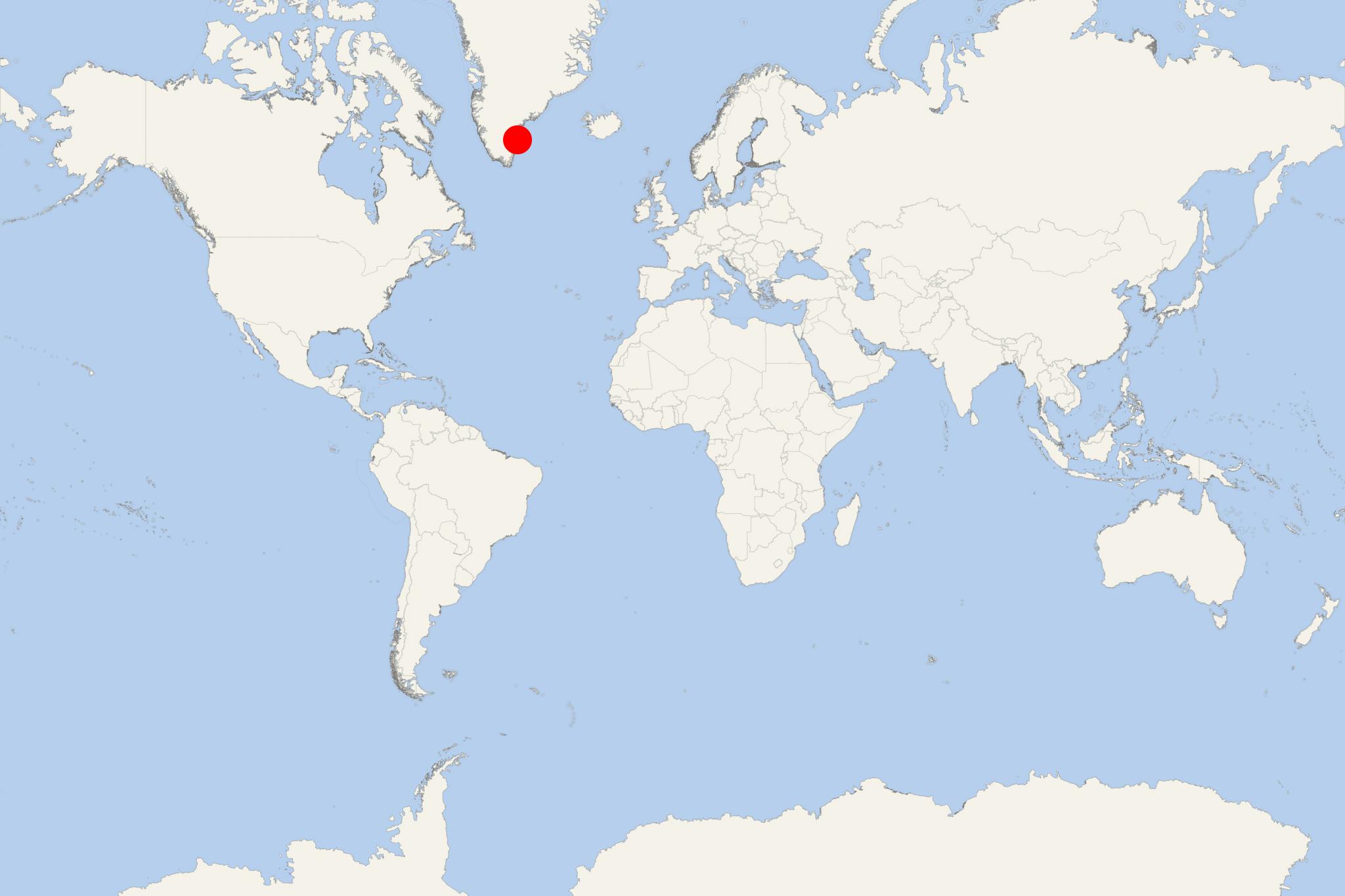
Skjoldungen Island Greenland
Cruise Port schedule, live map, terminals, news
Region
Iceland - Greenland - Faroe Islands
Local Time
2025-04-02 09:10
 18°F
18°F -7.9°C

 Gentle breeze
3.4 m/s
 25 °F / -3 °C
 8 °F / -13 °C
Port Skjoldungen Island Greenland cruise ship schedule shows timetable calendars of all arrival and departure dates by month. The port's schedule lists all ships (in links) with cruises going to or leaving from Skjoldungen Island Greenland. To see the full itineraries (ports of call dates and arrival / departure times) and their lowest rates – just follow the corresponding ship-link.
| Day | Ship | Arrival | Departure |
|---|---|---|---|
| 17 July, 2025 Thursday | |||
| 22 July, 2025 Tuesday | |||
| 25 July, 2025 Friday | |||
| 26 July, 2025 Saturday |
Skjoldungen is a large uninhabited island in southeastern Greenland, located in King Frederick VI Coast. The island covers a total area of approx 450 km2 (174 mi2).
Skjoldungen Island was named by Wilhelm August Graah (1793–1863; Danish Arctic explorer and naval officer). Skioldungen is an honorific title for successors of King Skjoldr (Skjold) - according to Norse mythology - among the first Danish kings.
The island is between two fjords - Southern Skjoldungen Fjord (to the southwest) and Northern Skjoldungen Fjord (to the northeast, between one of the arms of Thorland Peninsula and Skjoldungen). Morkesund is a 700 m (2297 ft) wide sound that joins both fjords in the northwest, separating the island from mainland Greenland.
Skjoldungen Island stretches 49 km (30 mi) a northeast-southwest direction. Its highest elevation point (Azimuthbjerg, at the northwest end) is 1738 m (5702 ft). Island's max width is 14 km (9 mi). The island has rugged terrain, including the glaciers Bjarje, Hjalte and Skjoldmoen. Largest peninsulas are Roar Halvo and Helges Halvo. Island's southernmost headland (Cape Niels Juel) is a narrow cape of reddish-brown rock located at the end of Helges Halvo.
