South Georgia Island (Grytviken, South Sandwich Islands UK)
Cruise Port schedule, live map, terminals, news
Region
Arctic - Antarctica
Local Time
2024-11-27 20:15
 28°F
28°F -2.1°C

 Light breeze
3.2 m/s
 34 °F / 1 °C
 19 °F / -7 °C
Port South Georgia Island cruise ship schedule shows timetable calendars of all arrival and departure dates by month. The port's schedule lists all ships (in links) with cruises going to or leaving from South Georgia Island, Grytviken, South Sandwich Islands UK. To see the full itineraries (ports of call dates and arrival / departure times) and their lowest rates – just follow the corresponding ship-link.
| Day | Ship | Arrival | Departure |
|---|---|---|---|
| 30 January, 2025 Thursday | |||
| 31 January, 2025 Friday | 10:00 | 02 Feb, 19:00 | |
| 6 February, 2025 Thursday | |||
| 14 February, 2025 Friday | |||
| 16 February, 2025 Sunday | |||
| 18 February, 2025 Tuesday | |||
| 22 February, 2025 Saturday | |||
| 27 February, 2025 Thursday | |||
| 28 February, 2025 Friday | 10:00 | 02 Mar, 19:00 |
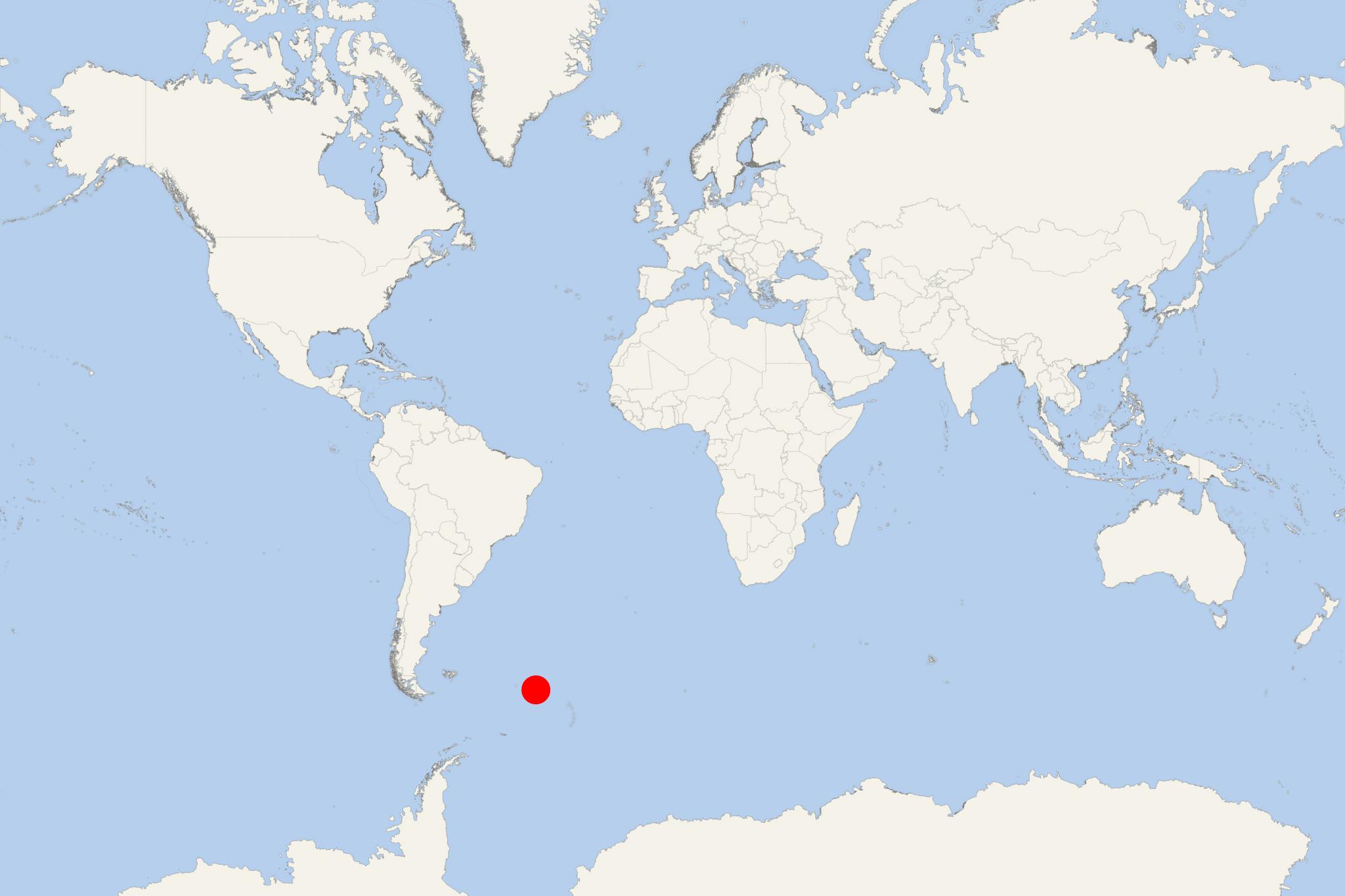
South Georgia Island is part of "South Georgia and South Sandwich Islands" British overseas territory, located in southern Atlantic Ocean. It is an inhospitable, remote collection of islands, that consists of South Georgia (the largest) and a chain of smaller isles (known as "South Sandwich Islands").
Cruise ships to South Georgia Island dock (anchor) at KEP-King Edward Point (the capital) and some may also stop at Grytviken (port locode GSGRV). Both are port towns located on the island's western coast. Some boats may also stop at Stromness (a former whaling station in Fortuna Bay), on the island's northern coast. Other anchorage sites are Gold Harbour (on the southeastern coast), Saint Andrew's Bay and Royal Bay (on the eastern coast).
The island South Georgia has length 165 km (103 mi) and max-width 35 km (22 mi). South Sandwich Islands are approx 700 km (430 mi) to the southeast. The territory's total land area is approx 3903 km2 (1507 mi2).
There is no permanent population on South Georgia. The present inhabitants include Deputy Postmaster, UK Government Officer, scientists, support staff (from British Antarctic Survey).
- In 1775, the British claimed sovereignty over South Georgia, and in 1908 - over South Sandwich Islands.
- In 1927, Argentina claimed South Georgia and in 1938 - South Sandwich Islands.
- In 1985 was formed the Overseas Territory "South Georgia and the South Sandwich Islands". Previously it was governed as part of Falkland Islands Dependencies.
From 1976 until 1982 (when closed by the Royal Navy), Argentina maintained the Corbeta Uruguay naval station (on Thule Island) in South Sandwich Islands. The country's claim over South Georgia contributed to 1982 Falklands War. During the war, Argentine forces occupied the island. The country continues to claim sovereignty over South Georgia and South Sandwich Islands.
Shag Rocks (aka Islas Aurora) are 6 small-sized islands located west of South Georgia Island.
- Cruise Industry
Silversea begins 2024-2025 Antarctic cruises with expanded itineraries
Silversea started Antarctica 2024-2025 winter season with Silver Endeavour ship embarking on an 18-day expedition to South Georgia, the South...
November 15, 2024 - Cruise Industry
PONANT announces Antarctic Expeditions for 2025-2026 season
The French ultra-luxury cruise travel company PONANT presents an opportunity to voyage to the Antarctic from October 2025 to March 2026, as Ponant's...
March 12, 2024 - Cruise Industry
Poseidon Expeditions opens bookings for Sea Spirit ship's Arctic and Antarctic cruises
Poseidon Expeditions, renowned for its polar small-ship cruises, has commenced bookings for Arctic and Antarctic expeditions aboard the MV Sea Spirit...
March 8, 2024 - Cruise Industry
Hurtigruten's ship MS Maud resumes cruises following drydock repairs
After undergoing necessary drydock repairs following weather damage in December 2023, HX-Hurtigruten's expedition ship MS Maud is now scheduled to...
January 21, 2024 - Cruise Industry
Scenic Cruises unveils 2025-2026 Antarctica program with varied itinerary options
Scenic Cruises has released its Antarctica program for 2025-2026, offering travelers a customizable experience with diverse expedition levels. The...
December 23, 2023 - Cruise Industry
Silversea initiates exclusive pre-sale for winter 2025-2026 cruises
The ultra-premium travel brand Silversea has initiated an exclusive pre-sale for its winter 2025-2026 voyages, encompassing 150+ itineraries to 200...
November 2, 2023 - Cruise Industry
Seabourn's expedition cruise ship Seabourn Venture begins 2nd season in the Arctic
Seabourn, the leading company in ultra-luxury voyages and expedition travel, commenced its second expedition season in the Arctic. On May 12th, 2023...
May 15, 2023 - Cruise Industry
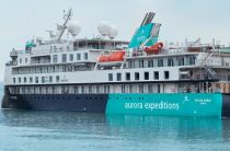
Aurora Expeditions introduces Antarctica 2024-2025 itineraries
Aurora Expeditions Australia (fleet) unveiled its 2024-2025 Antarctic program of 25 voyages ranging from 9- to 23 days in duration. These voyages...
April 14, 2023 - Cruise Industry

Silversea reveals new collection of 25 cruises on the new megayacht Silver Endeavour
Silversea revealed a new collection of 25 sailings for its newly acquired expedition ship Silver Endeavour/2021-built as Crystal Endeavor - the world...
October 2, 2022 - Cruise Industry

VIDEO: Polar Pioneer cruise ship returns to Svalbard, Antarctica & South Georgia
Fresh from her maiden voyage to Svalbard Norway with Secret Atlas after a major refurbishment project focused on upcycling and sustainability, the...
August 13, 2022 - show more news
