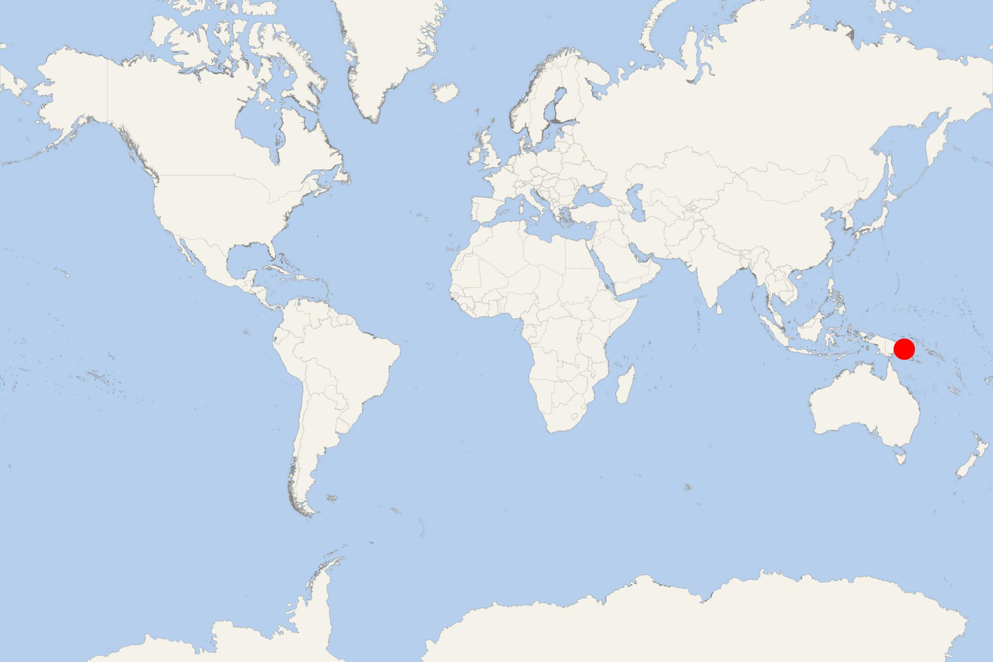
Tami Island PNG (Papua New Guinea)
Cruise Port schedule, live map, terminals, news
Region
Australia - New Zealand - Pacific Ocean Islands
Local Time
2025-03-30 19:58
 83°F
83°F 28.4°C

 Light breeze
1.8 m/s
 85 °F / 30 °C
 77 °F / 25 °C
Port Tami Island PNG cruise ship schedule shows timetable calendars of all arrival and departure dates by month. The port's schedule lists all ships (in links) with cruises going to or leaving from Tami Island PNG, Papua New Guinea. To see the full itineraries (ports of call dates and arrival / departure times) and their lowest rates – just follow the corresponding ship-link.
| Day | Ship | Arrival | Departure |
|---|---|---|---|
| 3 October, 2025 Friday |
Tami Island is part of an island group (Tami Islands) located approx 13 km (8 mi) southeast of Finschhafen (Huon Peninsula, PNG's Morobe Province). Tami Islands are 4 atolls (popularly called "Tami Island") that form a circle around a central lagoon with depth of 21 m (69 ft).
There are two villages on the 2 largest islands, facing each other across a cove. This cove attracts snorkeling and scuba diving tourists who enjoy exploring the reefs. Day-tourists also come from the nearby port town Lae (on New Guinea Island). The largest atoll has diameter approx 80 m (262 ft).
Tami Islands' inhabitants were known throughout South Sea and Solomon islands for their religious figure carvings, ceremonial masks and distinctive wooden bowls. During WW2 (1939-1945), the islands were occupied by Japan. The local population specializes in elaborately carved bowls, often used for bridal wealth payments. Locals decorate themselves with pink and blue paint.
In addition to their rectangular bowls, island art appears in representations of religious figures. Images are full-length. The head is directly placed on the torso and has a headdress. Tami masks are products of trade, depicting various animal figures (stylized as humans). Canoes, though outriggers like most of neighboring styles, are unique in decoration and design. The distinctive outrigger canoe prows have a more rectangular and finer structure than the ones of other south Milne Bay islanders, though they're similarly painted.
