Tangier Island VA (Virginia)
Cruise Port schedule, live map, terminals, news
Region
East Coast USA and Canada New England
Local Time
2025-04-15 23:05
 52°F
52°F 11.3°C

 Fresh breeze
10.6 m/s
 60 °F / 16 °C
 47 °F / 9 °C
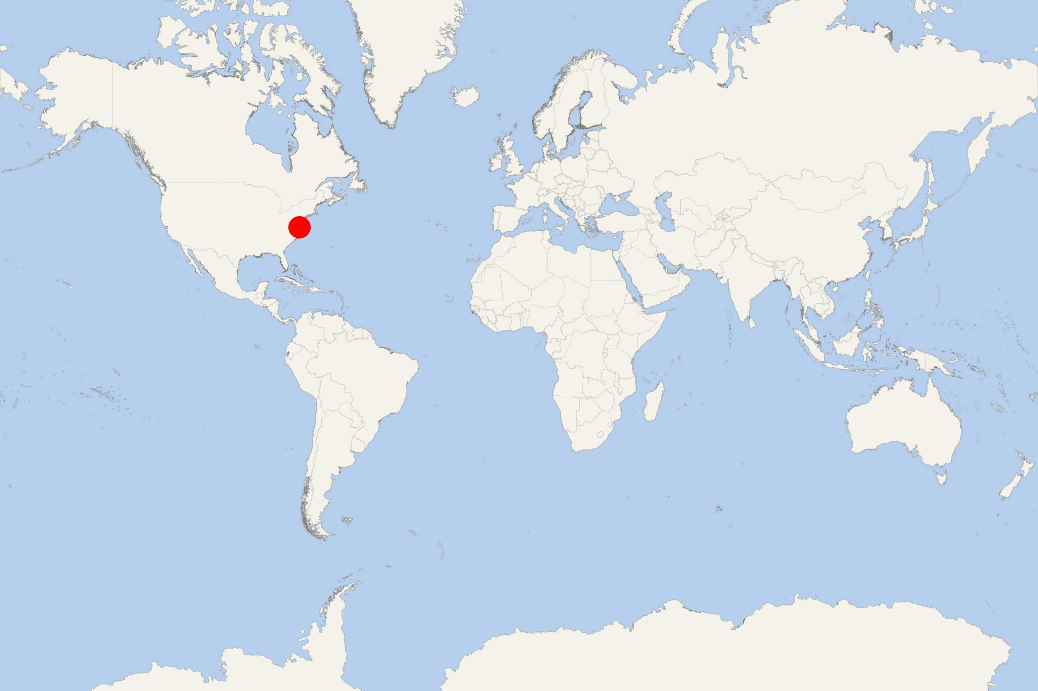
Tangier Island (Virginia, Accomack County) is located in Chesapeake Bay - an estuary inland from Atlantic Ocean and surrounded by mainland USA. Tangier VA is a port town on Tangier Island, with total area approx 3 km2 (1 mi2) and population under 1,000.
The majority of Tangier's original settlers came from southwest England. The small island community attracted the attention of linguists as the natives speak unique English Restoration-era dialect. Before the arrival of British colonists, Tangier Island was the summer retreat for Pocomoke Indians. Currently, the island's economy is based on crabbing and oystering. North of the island are built free-standing docks (not connected to land) used by fishermen to hold crabs while they molt.
The other major industry on Tangier Island is tourism. In the summer, smaller-sized cruise ships visit the island and allow tourists to buy goods from the locals. A couple of bed-and-breakfast inns accommodate a limited number of guests. There are a few restaurants and shops for the tourist trade. Some local residents outfit golf carts with trailers and sell "historical tours". Island's roads are wide enough for just two golf carts passing each other. Locals and tourists use as transportation mopeds, bikes, golf carts and motorboats.
Tangier Island VA cruise terminal
Cruise ships to Tangier Island dock (anchor) at Tangier - port city on the eastern coast.
