Thasos Island (Greece)
Cruise Port schedule, live map, terminals, news
Region
Mediterranean - Black Sea
Local Time
2025-04-02 13:34
 54°F
54°F 12.3°C

 Gentle breeze
3.5 m/s
 57 °F / 14 °C
 50 °F / 10 °C
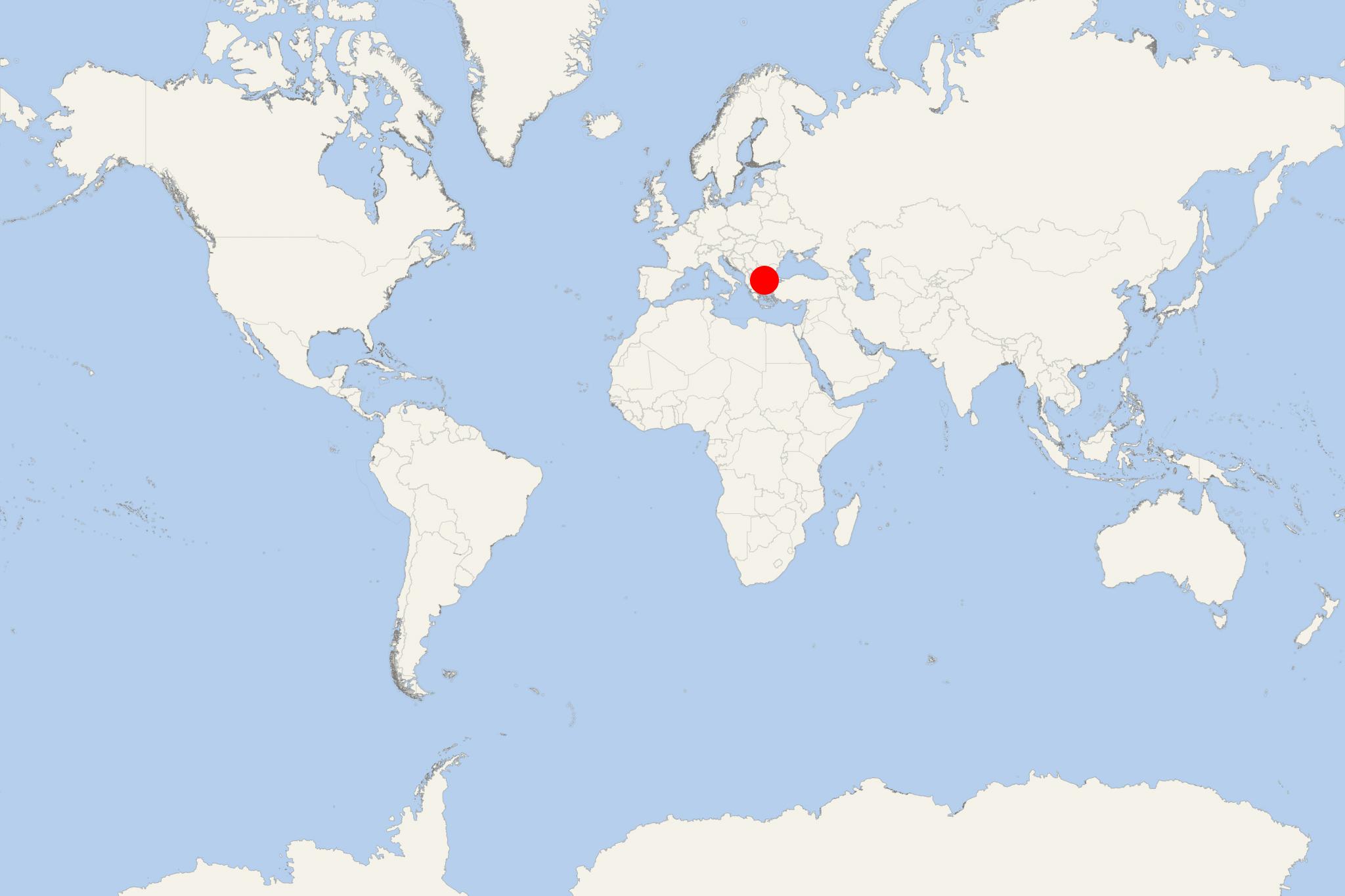
Thasos Island (Thassos) is in north Aegean Sea (Eastern Mediterranean), approx 7 km (4 ml) from mainland Greece and 20 km (12 ml) southeast of Kavala. Thasos Island is part of Greece's Kavala regional unit and has population around 15,000.
Thasos is Greece's northernmost island and country's 12th largest by area (approx 380 km2 / 145 ml2). Thasos is served by local ferries with regularly scheduled daily crossings to/from Keramoti (near Kavala International Airport). Scala Prinos is approx 20 km (12 ml) south of Thassos and is served by ferries to/from Kavala.
The island is round-shaped, without peninsulas or deep-water bays. The landscape is mountainous, not rugged, gradually rising from the coast with highest elevation point (Ipsario) 1205 m (3953 ft) above sea level. Pine forest covers much of the eastern slopes.
Island's principal port and largest town is also named Thasos (officially Limenas Thasou / Port Thasos). The port is on the northern coast, opposite mainland Greece and approx 10 km (6 ml) from Keramoti. Thassos is famous from ancient times for its thermal baths, making it a balneoclimateric resort area. Island's current economy is based on timber, olive oil, honey and marble (quarries). Tourism is also a major industry, but not so developed as on other Greek islands.
Thasos Island cruise terminal
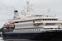
Cruise ships to Thasos Island dock (anchor) at Limenas Thasou - port town on the northern coast.
- Cruise Industry

SeaDream Cruises launches 2025 Caribbean, Mediterranean, Scandinavia/Northern Europe itineraries
SeaDream Yacht Club announced the opening of 2025 Caribbean, Mediterranean, Scandinavia & Northern Europe cruises on its newly renovated, 56...
January 23, 2023 - show more news
