Tilos Island (Greece)
Cruise Port schedule, live map, terminals, news
Region
Mediterranean - Black Sea
Local Time
2025-12-25 13:19
 64°F
64°F 17.7°C

 Light breeze
2.6 m/s
 65 °F / 19 °C
 63 °F / 18 °C
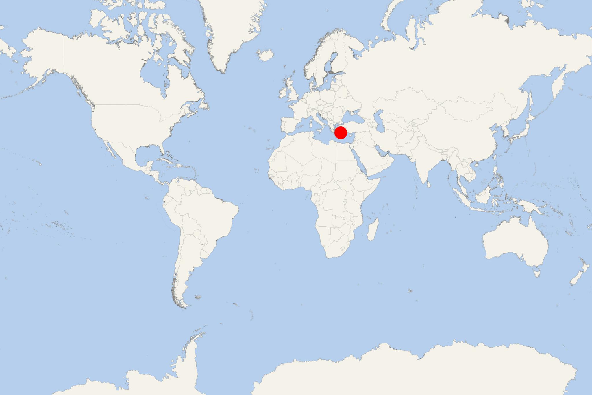
Tílos Island (port locode GRTIL) is located in the Aegean Sea (Eastern Mediterranean) and is part of Greece's Dodecanese islands. Tílos is located midway between the islands Kos and Rhodes and has a population of under 1,000. Along with two uninhabited isles (Antitilos and Gaidaros), Tílos forms a municipality with a total area of approx 65 km2 (25 mi2), which is part of the Rhodes regional unit.
The island is shaped as an inverted S, has a length of approx 15 km (9 mi / northwest-southeast), max width 8 km (5 mi) and land area approx 61 km2 (24 mi2). The landscape is similar to Nisyros - mountainous (limestone), with red lava sand, springs, fertile meadows, rocky or pebbled coast with several sand beaches.
During its history, the island was ruled by the Byzantine Empire (395-1453), the Crusaders (Knights of Saint John, 1309-1470), and the Ottoman Empire (1299-1922, in the period 1523-1912). In June 2008, the island's mayor performed Greece's first same-sex marriage.
Island's best-known tourist attractions include Ayios Pandeleímon Monastery, Megalo Chorio ruins (medieval castle / Fortress of Mesaria), Livadhia (principal port harbour and island's economic centre), Mikro Chorio (15th-century town built by Knights of St John), castles (Megalo and Mikro Chorio, Mesaria, Agrosikia, Stavrou Lambrou).
