Torishima Island Japan (Izu Islands, Hachijo)
Cruise Port schedule, live map, terminals, news
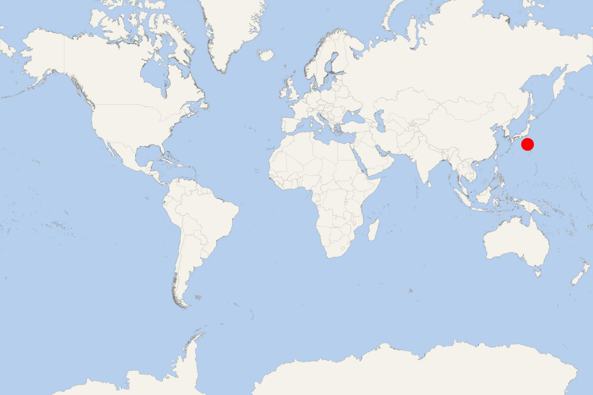
Torishima Island (aka Tori-shima or Izu-no-Tori-shima) is an uninhabited Japanese island in Pacific Ocean, with total area approx 5 km2 (2 mi2). Torishima (translated "Bird Island") is part of Izu Islands (Izu-shoto) in the Philippine Sea, approx 600 km (373 mi) south of Japan's capital Tokyo.
Torishima 's highest elevation point (Io-zan) is 394 m (1293 ft). Japan's Meteorological Agency lists The island as a "Class A" active volcano.
Torishima Island is the above-water portion of a marine volcano, which submerged caldera portion (to the north of the island) erupts underwater. The volcano's last eruption was in 2002. Repeated volcanic eruptions have set the flora on Torishima Island back to initial stages. Plants are found close to the coastline. Japanese black pine and chrysanthemum occupy the sheltered inland areas, but most of the island's central portion remains volcanic rock and ash.
Torishima has always been uninhabited, excepting occasional shipwreck survivors. The island homes tens of thousands of breeding seabirds, including storm petrel, short-tailed and black-footed albatross, blue rock thrush, common kestrel, Japanese murrelet. Black rats are the only remaining mammal on the isle. Dolphins and humpback whales often appear around Torishima during breeding and migration seasons.

 66°F
66°F 
 Strong breeze