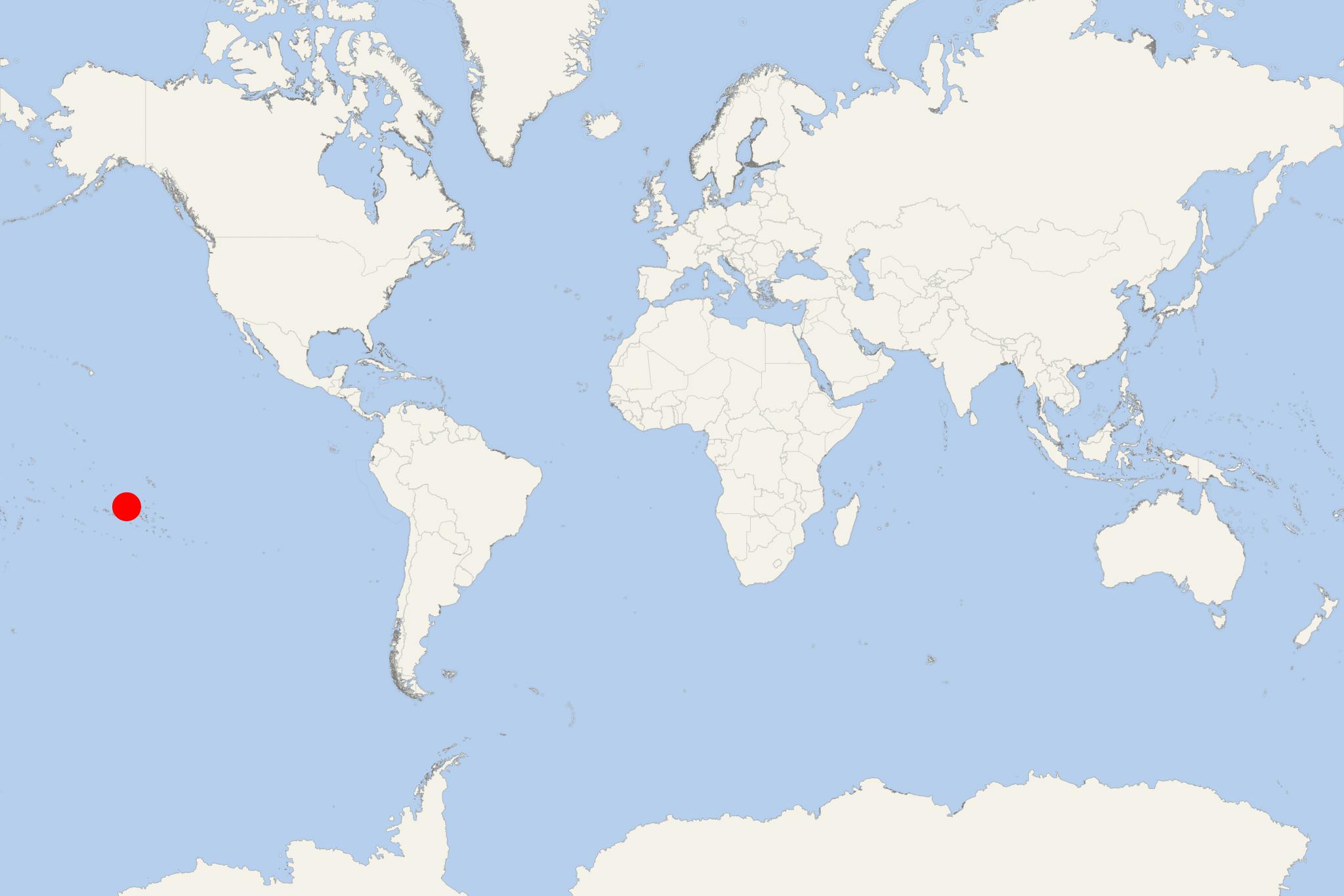
Tuamotus Islands (French Polynesia)
Cruise Port schedule, live map, terminals, news
Region
Australia - New Zealand - Pacific Ocean Islands
Local Time
2025-04-13 11:39
 80°F
80°F 26.4°C

 Mod. breeze
6.5 m/s
 82 °F / 28 °C
 79 °F / 27 °C
Tuamotus (Tuamotu Islands) are an archipelago in French Polynesia (one of France's overseas territories in the South Pacific Ocean). The group consists of 78 islands and atolls, covering a total land area of approx 850 km2 (328 mi2) with population around 16,000 (in 16 communes). The largest islands are Anaa, Fakarava, Hao and Makemo.
The combined Tuamotus-Gambier islands form one of French Polynesia's all 5 administrative divisions. The local economy is mainly based on agriculture and tourism. The most important sources of income are cultivation of black pearls and preparation of copra (dried coconut). Tourism is mainly developed on Rangiroa, Fakarava and Manihi (popular as snorkeling and scuba diving island destinations).
The Tuamotu archipelago is divided into the following groups:
- Disappointment Islands - Napuka, Pukapuka, Tepoto Nord
- Duke of Gloucester Islands - Anuanuraro, Anuanurunga, Hereheretue, Nukutepipi
- Far East Tuamotu - Akiaki, Fakahina, Fangatau, Fangataufa, Moruroa, Nukutavake, Pinaki, Pukarua, Reao, Tatakoto, Tematangi, Tureia, Vahitahi, Vairaatea, Vanavana
- Hao Islands - Ahunui, Amanu, Hao, Manuhangi, Nengonengo, Paraoa, Tehuata, Tauere
- Hikueru Islands - Hikueru, Marokau, Ravahere, Reitoru, Tekokota
- King George Islands - Ahe, Manihi, ,Takaroa, Takapoto, Tikei
- Palliser Islands - Arutua, Apataki, Avatika, Fakarava, Kaukura, Makatea, Mataiva, Niau, Rangiroa, Toau, Tikehau
- Raeffsky Islands - Anaa, Aratika, Faaite, Haraiki, HitiKatiu, Kauehi, Makemo, Marutea Nord, Motutunga, Nihiru, Raraka, Raroia, Taenga, Tahanea, Taiaro, Takume, Tepoto Sud, Tuanake
- Cruise Industry
Paul Gauguin Cruises announces 2027 ship deployment (34 South Pacific voyages)
Paul Gauguin Cruises/PGC has unveiled its 2027 deployment of the Paul Gauguin ship. The 34 voyages (itineraries ranging from 7 to 20 nights) will...
February 24, 2025 - Cruise Industry

Paul Gauguin Cruises unveils 2026 voyages brochure highlighting French Polynesia expertise
PGC/Paul Gauguin Cruises (PONANT's fully-owned subsidiary specializing in French Polynesia voyages) introduced its 2026 voyages brochure. The 86...
December 21, 2024 - Cruise Industry

Paul Gauguin Cruises unveils 2026 French Polynesia voyages
Following its recognition as the "Best Small Cruise" in Conde Nast Traveler’s 2024 Readers' Choice Awards, Paul Gauguin Cruises (PONANT's fully...
November 1, 2024 - Cruise Industry
Windstar Cruises adds Fiji and Tonga to 2026 South Pacific sailings
In 2026, Windstar Cruises will expand its footprint in the South Pacific beyond its established routes in Tahiti, the Tuamotus, and the Marquesas...
September 20, 2024 - Cruise Industry

Paul Gauguin Cruises revives Moana Explorer Program for young guests in 2026
Paul Gauguin Cruises (Ponant-owned brand) will once again offer its Moana Explorer Program for young travelers on 11 select summer and holiday...
September 7, 2024 - Cruise Industry

Windstar Cruises marks UNESCO recognition of Marquesas Islands with special sailings
Windstar Cruises commenced voyages to the Marquesas Islands in 2024, offering travelers a rare opportunity to explore this remote South Pacific...
August 29, 2024 - Cruise Industry

Paul Gauguin Cruises introduces 2026 Moana Explorer Program for children
Paul Gauguin Cruises (fully-owned subsidiary of PONANT) has unveiled its 2026 Moana Explorer Program, providing families with a unique opportunity to...
July 20, 2024 - Cruise Industry
Aranui Cruises introduces 'Tiki Club' Loyalty Program to celebrate 40th Anniversary
Aranui Cruises/fleet, renowned for its unique cargo cruise ship Aranui 5, has unveiled its new loyalty program, the 'Tiki Club,' as a gesture of...
April 21, 2024 - Cruise Industry
Silversea's summer sojourn: French Polynesia takes center stage in the 2026 cruise season
The ultra-premium travel brand Silversea is set to anchor its entire 2026 summer season in French Polynesia, attributing this decision to the...
December 6, 2023 - Cruise Industry

Paul Gauguin unveils 2025 itinerary program/Boutique Crossing Collection
Paul Gauguin Cruises (aka "PG Cruises", Ponant-owned brand) has unveiled a captivating lineup of new itineraries as part of their 2025 Boutique...
October 8, 2023 - show more news
