Tuktoyaktuk (NWT Canada)
Cruise Port schedule, live map, terminals, news
Region
Arctic - Antarctica
Local Time
2025-04-15 05:35
 16°F
16°F -8.7°C

 Light breeze
2.9 m/s
 28 °F / -2 °C
 9 °F / -12 °C
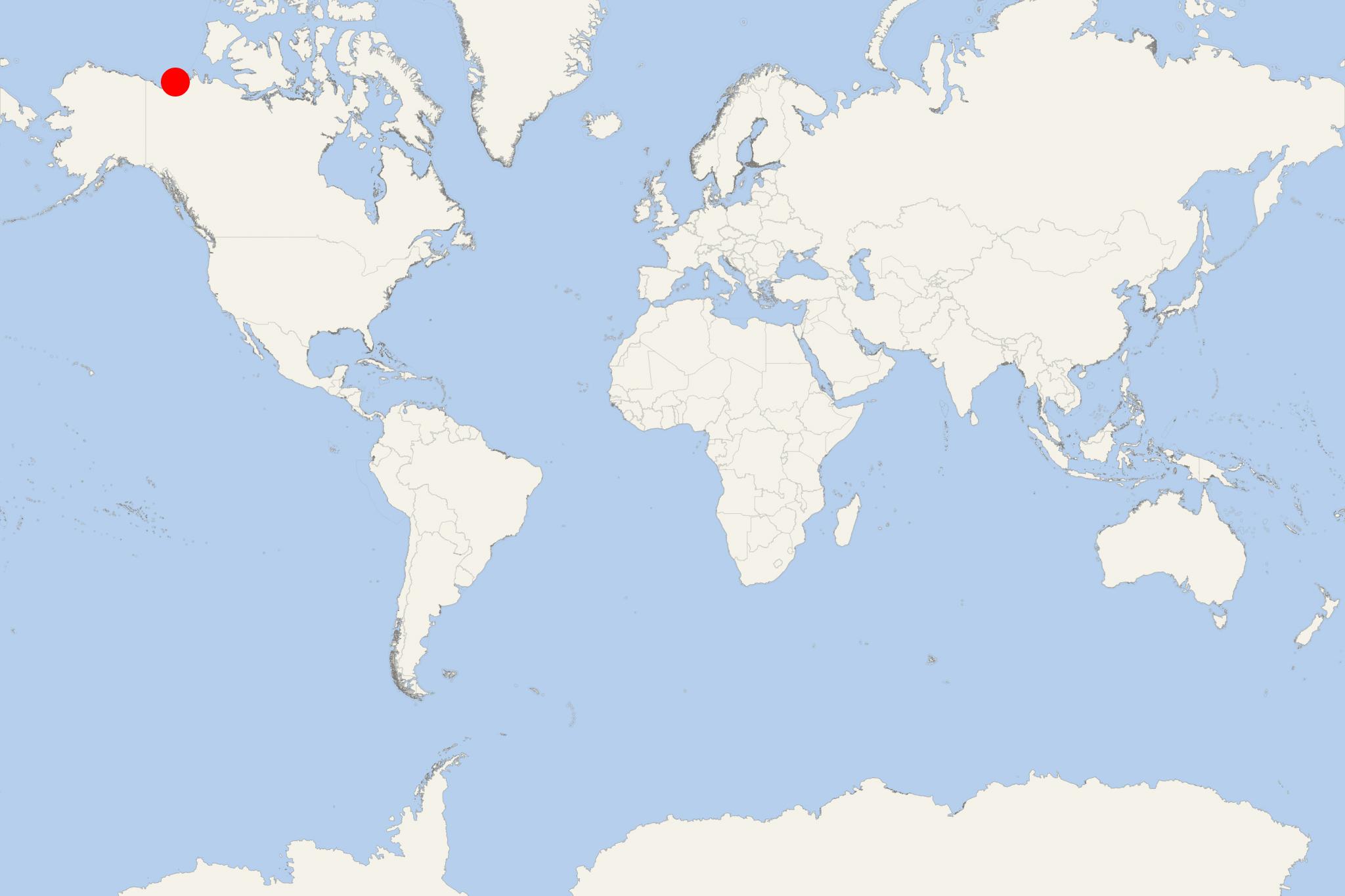
Tuktoyaktuk (fka Port Brabant, aka Tuk) is a port town (Inuvialuit hamlet) with population around 1,000. The town is located on Kugmallit Bay (near Mackenzie River Delta, Beaufort Sea, Arctic Ocean) in Canada's NWT (Northwest Territories), and north of Arctic Circle.
Between 1890-1910, a large number of natives were wiped out in flu epidemics. In subsequent years, Alaska's Dene people and residents of Herschel Island (Yukon) settled here.
In the 1950s here were installed radars (as part of Canada's DEW Line) to monitor the air traffic. In the 1970s Tuktoyaktuk became a base for oil and gas drilling companies with operations in the Beaufort Sea.
In January 2014 started the construction of an all-weather road as a Dempster Highway extension (between Inuvik and Tuktoyaktuk). The road's initial laying was completed in April 2016. Its opening was scheduled for fall 2017.
Tuktoyaktuk NT was included as port of call in Northwest Passage cruises of the following passenger ships:
- Seven Seas Navigator - 63-day itinerary from Miami Florida to Montreal Quebec (2017 - June 17 to August 18)
Note: All Northwest Passage ship transits are assisted by a Canadian icebreaker or another vessel with an ice-strengthened hull.
